2022-09-28
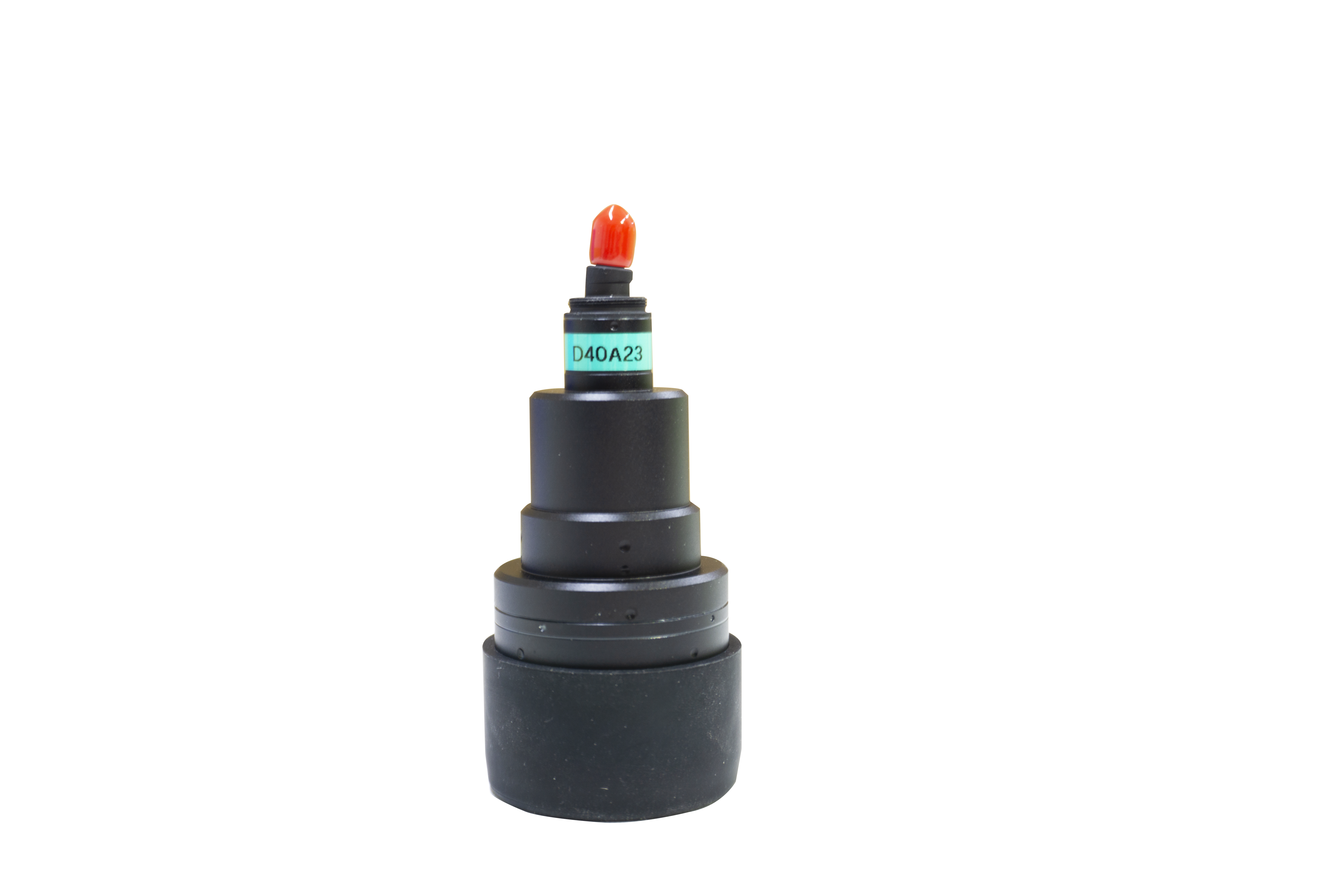
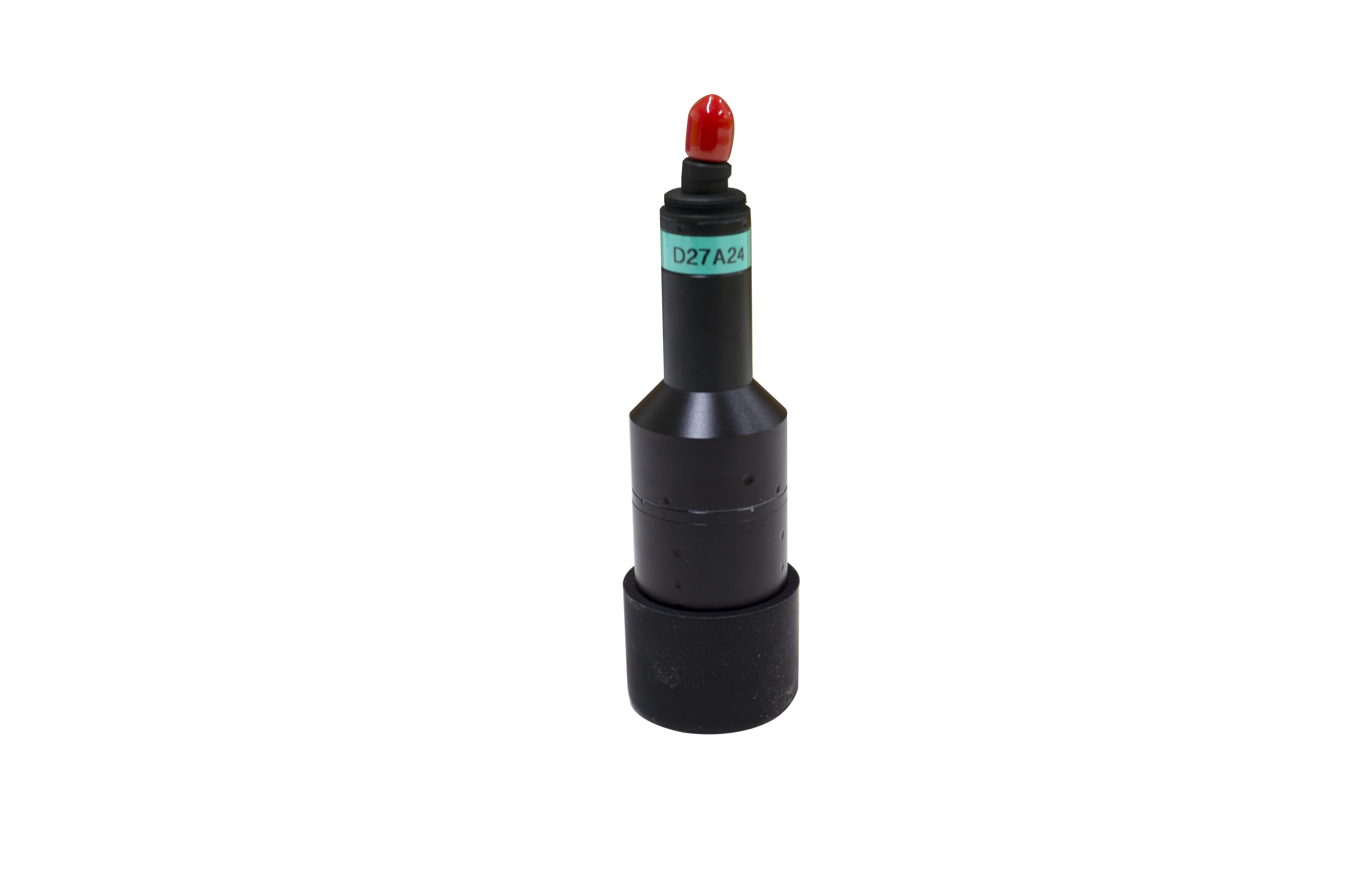
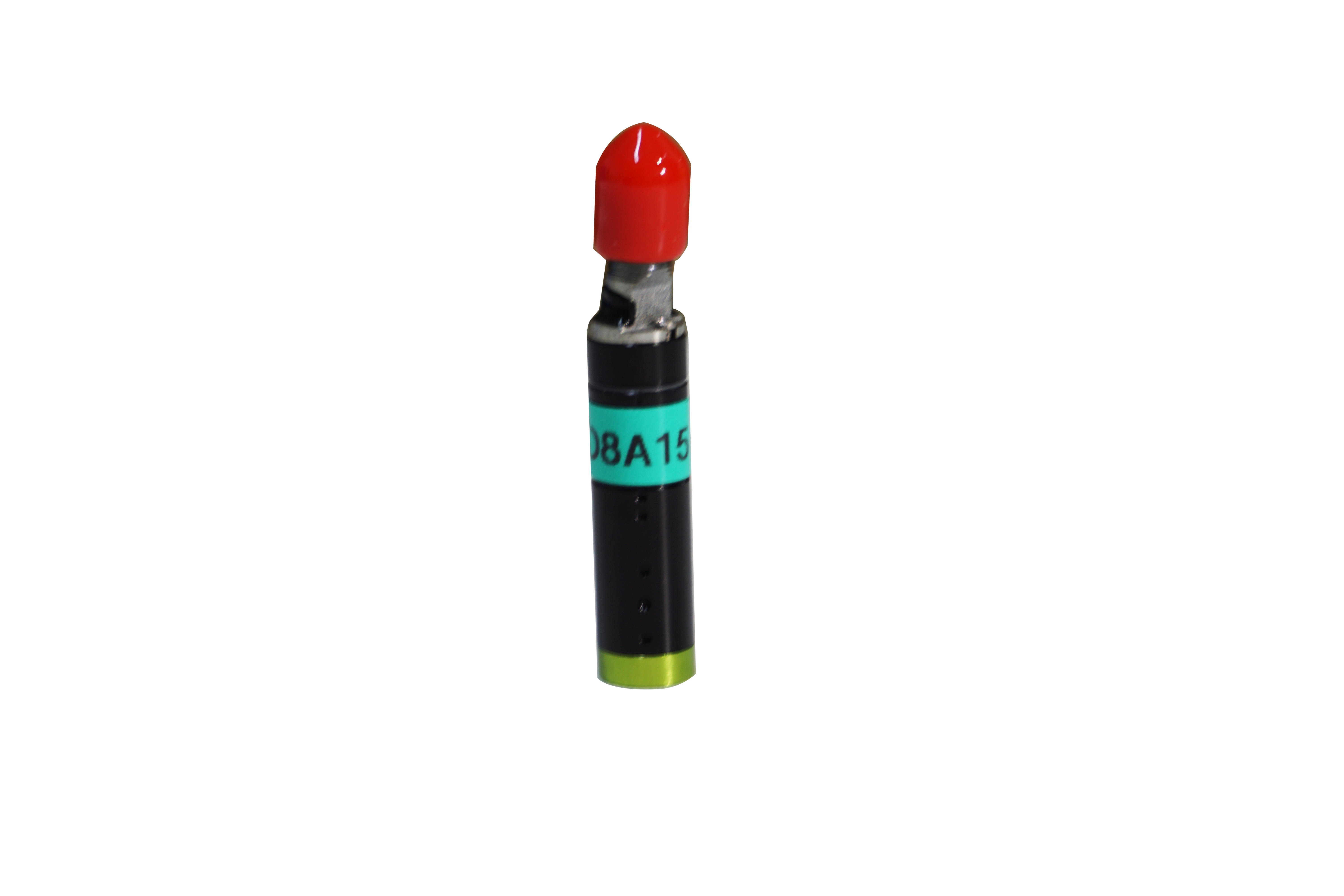
Because of its high measurement accuracy and non-contact measurement characteristics, laser displacement sensor is widely used in universities and research institutions, automotive industry, machinery manufacturing industry, aviation and military industry, metallurgy and material industry precision measurement and detection.
The laser displacement sensor has been applied in the field of aerospace, it can be combined with space technology to play a diversified application purpose, many people only know that it has a higher proportion of profits at sea, but in fact, it is also needed for orbit positioning in aerospace, and can also be used for space collision prediction, is one of the participants in the space collision early warning system, so wide spot What are the applications of laser displacement sensor in the satellite field? Here we take a look: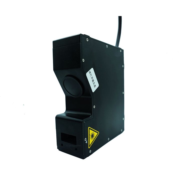
1. Accurately measure the Earth's gravitational field model and its temporal variability
The blind area of the laser displacement sensor is small. In the process of studying the position change of the Earth's centroid, the accurate gravitational constant GM of the earth is determined by technology. The model of the earth's gravitational field is accurately determined by using laser satellites with different orbital inclination and altitude, and the seasonal variation of the low-order spherical harmonic coefficient of the earth's gravitational field is also determined. At the same time, the laser displacement sensor also obtains the periodic change of the position of the earth's centroid, including seasonal and interannual changes, and the change of the earth's gravitational field reflects the complex movement and interaction process of the earth's interior and various layers (including ocean, atmosphere, groundwater, ice sheet, etc.). The laser displacement sensor has important research value.
2. Monitoring global plate movements
Using the long-term observation data of the laser displacement sensor , the geocentric coordinates of the ground station can be accurately determined. The calculation of the coordinates of the high-precision station makes it possible to monitor the plate movement. Using data obtained from the laser displacement sensor , station speeds and the rate of change of baselines between stations have been estimated for dozens of stations. If the station is located on the rigid part of the plate, the station speed represents the plate motion. The relative motion between the plates can be calculated by using the change rate of the station base line and the station speed.
The laser distance sensor can fragment the information and then integrate it to achieve the determination of distance, and the error obtained by this sensor is relatively small. In the future aerospace development, orbit early warning is needed as the main breakthrough, so even if the laser distance sensor can not independently carry out the scientific detection work of the satellite in the future, there are still some problems in the process of satellite orbit identification Great application value.
